3-point problem
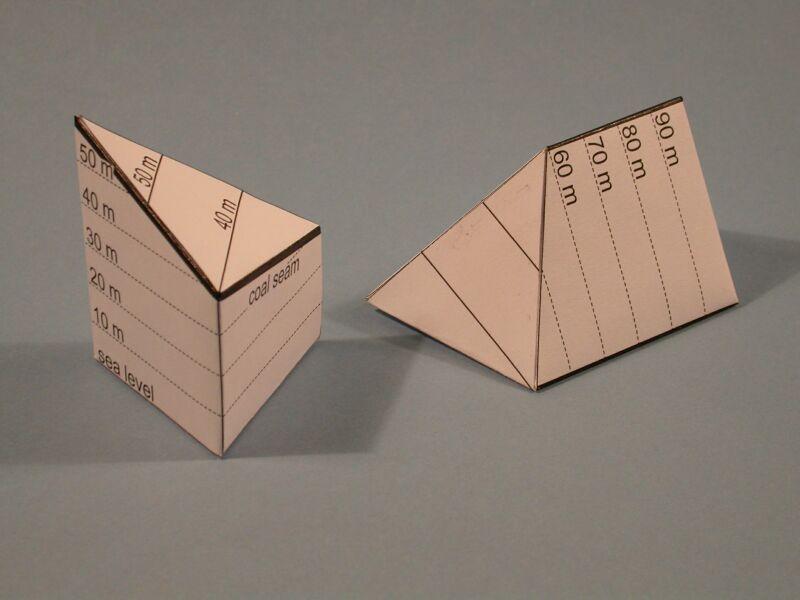
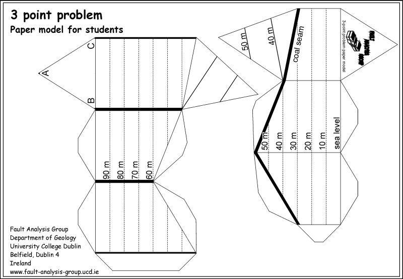
The three point problem is a fairly typical exercise for undergraduates. This model illustrates the 3-D geometry associated with the standard method for determining the strike and dip of planar features from three-point data. The model, which is constructed in two parts, highlights the method for a coal seam intersected at different depths by three boreholes (labeled A,B and C). For simplicity the topographic surface is horizontal, at 100m above sea level, and the boreholes are equally spaced, providing an equilateral triangle with 50 m long sides. It might be worth drawing the projection of the coal seam structure contours onto the map and calculating the true dip of the coal seam!
 |
Download |
BACK